Beekeepers
- Mark hives as active
- Update GPS locations
- Submit online applications and renewals (if required)
- Ownership and location is kept confidential
- Email and text notifications to temporarily move or close hives
Applicators and farmers
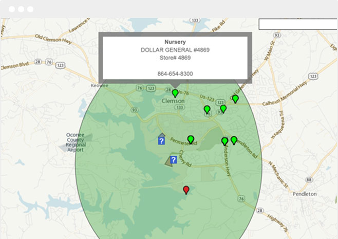
- Location Mapping
- Multiple layers of data
- Draw 2-mile buffer zones with pins showing hives within the area and polygons showing overlapping sensitive areas
- Save field coordinates for future re-mapping
- Email and text notifications
The Honeybee & Pesticide mapping program was designed by Kelly Registration Systems
Kelly has provided software solutions that leverage pesticide data for the benefit of state departments of agriculture, manufacturers, businesses, and individuals.
Because of our extensive experience working with state departments of agriculture, our systems are fully customized for workflow and terminology and we are able to automate any program within a department of agriculture or related regulatory agency.
And because we work with these departments for product registrations and licensing, this feature can be integrated here for participating states.


Working with the Clemson University’s Department of Plant Industry & Extension Service…
This software application was developed in response to recommendations from the EPA and the President regarding state implemented pollinator protection plans. This program has been designed to meet the requirements of both voluntary and required programs.
Designed to map environmentally sensitive locations
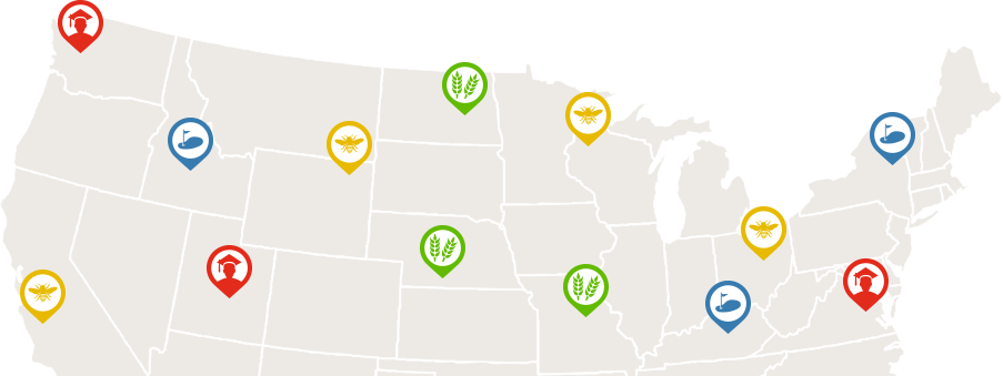
Our software was developed to track and map any and all beekeepers, organic farms, vineyards, schools, golf courses and more.

Talk with a representative today to discuss the right solution for your business.
"*" indicates required fields


